UPLINK SECURE
GEOSHIELD AI
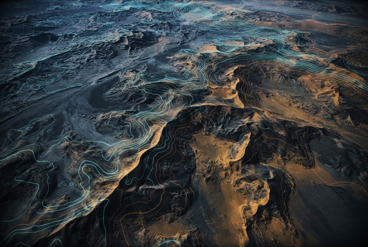
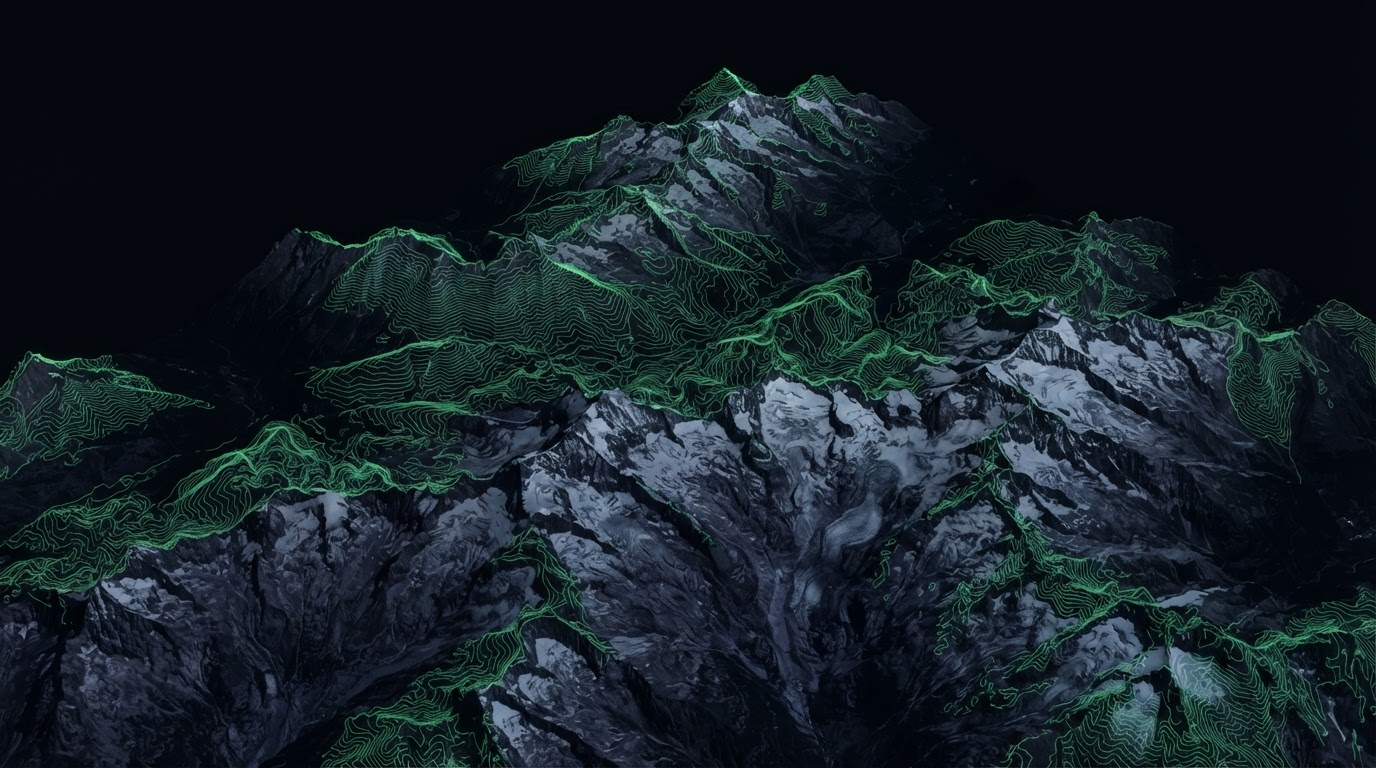
Orthographic satellite terrain with topographic overlays
CLASSIFIED // CIVIL RELEASE

Mapping the Future of
Defense Intelligence

GeoShield AI combines artificial intelligence, geographic analysis, and intelligence automation to provide advanced situational awareness and operational understanding across complex security environments.

GEOINT
Geospatial
AI-ENGINE
Cognitive
2023
Founded
ORBIT-A
LIVE_GLOBAL_MESH · ROT 0.04°/s
◇ SAR ACQ COMPLETE · SECTOR 4N◇ PATTERN DETECT: 92.4%◇ FUSION NODE SYNC◇ TERRAIN CLASS: ARID/URBAN◇ RISK INDEX 0.31◇ IMG DIFF +0.8KM²◇ ORBIT PASS T-00:04:12◇ GEOLOCK SECURED◇ SAR ACQ COMPLETE · SECTOR 4N◇ PATTERN DETECT: 92.4%◇ FUSION NODE SYNC◇ TERRAIN CLASS: ARID/URBAN◇ RISK INDEX 0.31◇ IMG DIFF +0.8KM²◇ ORBIT PASS T-00:04:12◇ GEOLOCK SECURED
02 · DOCTRINE

Where Geography Meets Intelligence

Founded in 2023, GeoShield AI is developing a next-generation geospatial intelligence platform designed to help organizations understand complex environments through advanced geographic analysis, artificial intelligence, and intelligence data fusion.

Our system transforms the overwhelming volume of planetary-scale geographic data — satellite imagery, terrain models, infrastructure networks, and open-source signals — into structured, decision-ready intelligence for those who operate in the world's most demanding environments.

FOUNDED
2023
▸
FOCUS
Geospatial Intelligence (GEOINT)
▸
TECHNOLOGY
Artificial Intelligence + Geographic Analysis
▸
MISSION
Transforming geographic information into strategic intelligence.
▸
03 · INTELLIGENCE WORKBENCH

The GeoShield Intelligence Platform

A modular GEOINT engine. Select a module to isolate its operational feed.

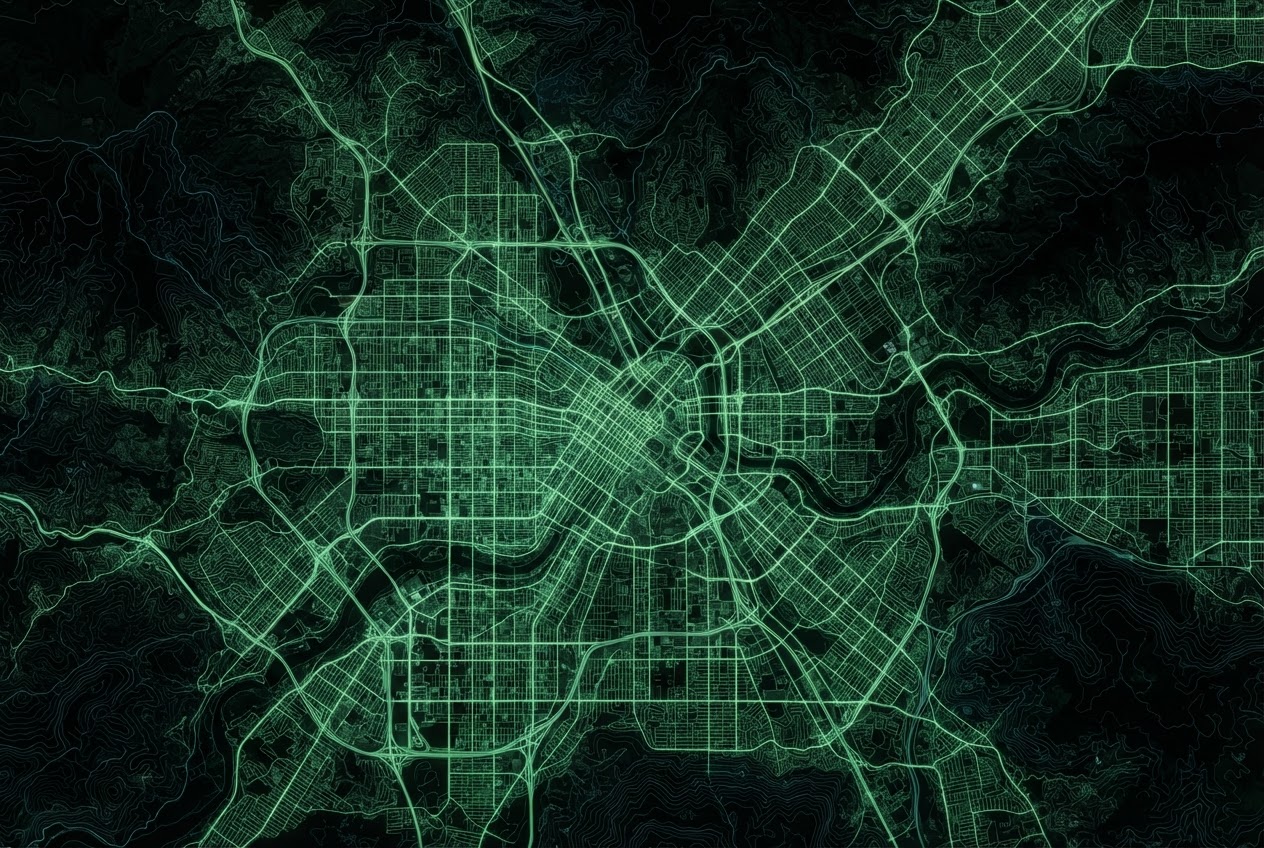
Digital terrain map with intelligence markers.Satellite imagery comparison system.AI map analysis interface.Command map interface.
SHUTTER 1/2000 · ALT 450KM
SENSOR SAR/EO
LAT 38.89 / LON -77.03
RES 0.3M/PX
FEED_OUTPUT

Satellite & Imagery Analysis

Processing visual geographic information to identify patterns, changes, and operationally relevant information.

VISUAL_CONTEXT

Satellite imagery comparison system.

STATUSONLINE
THROUGHPUT2.4 GB/s
CONFIDENCE94.1%
04 · DEPLOYMENT VECTORS

Geography as a Strategic Advantage

AOR_01

Defense Operations

  • ▸Operational environment analysis
  • ▸Terrain understanding
  • ▸Strategic planning support
  • ▸Geographic intelligence workflows
RISK INDEX0.34
AOR_02

Border & Security Monitoring

  • ▸Regional analysis
  • ▸Infrastructure awareness
  • ▸Geographic risk assessment
RISK INDEX0.52
AOR_03

Law Enforcement Intelligence

  • ▸Crime geography analysis
  • ▸Incident mapping
  • ▸Investigation support
RISK INDEX0.21
AOR_04

Emergency Response

  • ▸Disaster mapping
  • ▸Crisis visualization
  • ▸Resource coordination
RISK INDEX0.67
05 · GEOINT PROCESS

From Data to Decision

A four-stage intelligence pipeline converting raw geography into operational advantage.

01

Collect Geographic Data

Satellite imagery, maps, open-source information, and operational datasets.

STAGE ACTIVE
02

AI Analysis

Machine learning identifies geographic patterns and relationships.

STAGE ACTIVE
03

Generate Intelligence

Convert geographic information into meaningful intelligence.

STAGE ACTIVE
04

Support Decisions

Enable analysts and organizations to make informed decisions.

STAGE ACTIVE
06 · SENTINEL GRID

Understanding Environments Before Entering Them

An interactive global projection of strategic points of interest, terrain classification, and AI-generated risk scores.
SENTINEL FEED · LIVE
PROJ MERCATOR · WGS84
> INGEST pkt-4821 region:STRAIT delta:+0.02
> TILE sync 14/9212/5440 OK
> POI DELTA_NODE alert raised
> CLASSIFY arid_belt confidence 0.88
> ORBIT pass T-00:02:41
TACTICAL CARD
● ALERT

DELTA NODE

6.50 / 3.40
TERRAINRiver Delta / Dense Urban
RISK_SCORE0.73
STATUSALERT
AI ASSESSMENT

Flood risk pattern · alert flagged

Select any POI on the grid to expand its card.
09 · LIVE THREAT FEED

Global Intelligence Alerts

FEED STREAMINGUTC
▸ PRIORITY RELAYSIMULATED · NOT OPERATIONAL
LOWCROWD DENSITY SPIKE· BARENTS SHELF73.55/42.30◇HIGHCOMMS BLACKOUT· KOREAN DMZ38.32/127.00◇HIGHVESSEL TRACK ANOMALY· BABEL MANDAB12.59/43.34◇HIGHVESSEL TRACK ANOMALY· SOUTH CHINA SEA15.20/114.84◇HIGHCOMMS BLACKOUT· ARCIC FRONTIER78.22/15.65◇LOWCROWD DENSITY SPIKE· BABEL MANDAB12.59/43.34◇HIGHVESSEL TRACK ANOMALY· BLACK SEA SECTOR43.41/34.22◇LOWCROWD DENSITY SPIKE· BARENTS SHELF73.55/42.30◇HIGHCOMMS BLACKOUT· KOREAN DMZ38.32/127.00◇HIGHVESSEL TRACK ANOMALY· BABEL MANDAB12.59/43.34◇HIGHVESSEL TRACK ANOMALY· SOUTH CHINA SEA15.20/114.84◇HIGHCOMMS BLACKOUT· ARCIC FRONTIER78.22/15.65◇LOWCROWD DENSITY SPIKE· BABEL MANDAB12.59/43.34◇HIGHVESSEL TRACK ANOMALY· BLACK SEA SECTOR43.41/34.22◇
LOW
CROWD DENSITY SPIKE
T-00s
HIGH
COMMS BLACKOUT
T-00s
HIGH
VESSEL TRACK ANOMALY
T-00s
HIGH
VESSEL TRACK ANOMALY
T-00s
HIGH
COMMS BLACKOUT
T-00s
LOW
CROWD DENSITY SPIKE
T-00s
HIGH
VESSEL TRACK ANOMALY
T-00s
SIMULATED DATA FOR DEMONSTRATION · NO LIVE OPERATIONAL SOURCES
07 · FUTURE DOCTRINE

The Future of Geographic Intelligence

Future security challenges require a deeper understanding of geography, environments, and global changes. GeoShield AI is developing technology that helps organizations transform geographic complexity into intelligence advantage.

As the planet's surface, infrastructure, and operational landscapes shift faster than legacy analysis can track, the ability to convert planetary-scale data into structured awareness becomes the decisive edge — not in volume, but in clarity and speed.

PLANETARY
scale visibility
SURGICAL
AI precision
OPERATIONAL
decision speed
GLOBAL_MESH · v3
08 · SYSTEM ARCHITECTURE

Technology Stack

The integrated disciplines powering the GeoShield Intelligence Platform.

Artificial Intelligence
SYS_01
▸
Geospatial Computing
SYS_02
▸
Machine Learning
SYS_03
▸
GIS Technology
SYS_04
▸
Satellite Data Analysis
SYS_05
▸
Data Fusion
SYS_06
▸
Predictive Analytics
SYS_07
▸
Cybersecurity
SYS_08
▸
09 · STRATEGIC FUNNEL

Request Intelligence Briefing

Secure conversion for defense, security, and law-enforcement professionals seeking operational access.

GEOSHIELD AI
SIGNAL CLARITY: 0%

Complete the operational brief to bring the transmission into focus.

GEOSHIELD AI
© 2026 · GEOshield intelligence systems · SECURE
> // geoshield.engine.geo.intelfusion // pipeline.collect -> analyze -> generate -> decide // ortho_proj wgs84 // sar/eo // confidence 0.941 // node_count 14228 // risk_model v3 // terrain_class arid/urban/mountain/delta // uplink secure // sys_status nominal> // geoshield.engine.geo.intelfusion // pipeline.collect -> analyze -> generate -> decide // ortho_proj wgs84 // sar/eo // confidence 0.941 // node_count 14228 // risk_model v3 // terrain_class arid/urban/mountain/delta // uplink secure // sys_status nominal